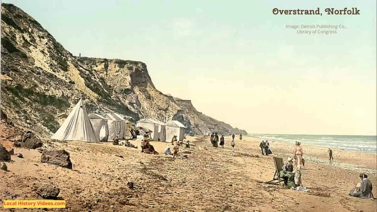
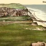
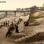
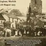
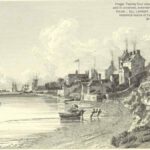
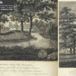
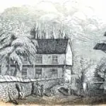
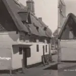
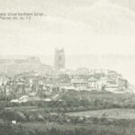
Glimpse history through old images of Overstrand, Norfolk, England.
Ocean View (1967)
In 1967, the garden of a house called Ocean View, fell away into the sea, along with part of the downstairs, leaving the rest of the house perched on a cliff. The right hand side of the semi-detached period homes was in the same precarious position.
The home made ‘Danger – Keep Out’ sign is stuck to the front of the large house, with a second similar sign strung across the driveway. At Ocean View, a couple of wooden saw horses are placed to stop people walking to the edge of the cliff.
A couple of other houses in the same street can be seen in this silent footage, including the flat roofed home next door which looks like it was built in the 1960s.
House On Cliff Edge (1967) – British Pathé on YouTube
A bit of Overstrand history
Extract from: “Post office directory of the Norfolk counties; viz.: – Cambridge, Norfolk, Suffolk [afterw.] Post office directory of Cambridge, Norfolk and Suffolk [afterw.] The Post office directory of Norfolk and Suffolk [afterw.] Kelly’s directory of Cambridgeshire, Norfolk and Suffolk“, by Kelly’s directories, Ltd
Published in 1875
Page 412
OVERSTRAND is a parish situated on the coast, 21 miles south – east from Cromer, and 8 from North Walsham station, in the Northern division of the county, North Erpingham hundred, Erpingham union, county court district of Holt, rural deanery of Repps, archdeaconry of Norfolk, and diocese of Norwich.
This parish is bounded on the south by a range of hills, and on the north by the sea cliffs.
The old church was swallowed up by the sea in the reign of Richard II., when a second church, dedicated to St. Martin, was erected, but that is now in ruins.
A church was built and consecrated in 1867: it is in the Early English style, of cut flint and stone, and consists of chancel, nave, and north aisle.
The register dates from the year 1558.
The living is a rectory, yearly nett value about £ 70, in the gift of John Henry Gurney, esq., and held by the Rev. Forster George Simpson, B.A., of St. Edmund Hall, Oxford.
Here is a school, called the Belfry school, for children of both sexes, built by the late Miss Gurney, and endowed by that lady and the late Hudson Gurney, esq., with nearly £ 100 yearly.
Part of Overstrand is by some called Beek Hythe.
£7, derived from poor’s land, is distributed in fuel.
The Cromer lighthouse is situated here.
This parish is in the manor of Gimingham Lancaster, of which Lord Sutfield is lord and chief landowner.
The soil is a light heath; subsoil, gravel and brick earth.
The chief crops are wheat, turnips, barley and grass.
The area is 438 acres; rateable value, £ 728; and the population in 1871 was 266.
Parish Clerk, John Green.
PRIVATE RESIDENTS.
Dashwood Mrs. Overstrand cottage
Simpson Rev. Forster George, B.A. Rectory
COMMERCIAL.
Cross Jeremiah H.farmer & brick maker
Farrow Rose (Mrs.), grocer & draper
Lambert Henry, farmer
Middleton Richard, rope maker & grocer & draper
Weston Robert, shoe maker
Woodhouse George, White Horse
More about Norfolk
- Old Images of Norfolk, England
- Old Images of Wymondham, Norfolk
- Old Images of Thetford, Norfolk
- Old Images of Sheringham, Norfolk
- Old Images of King’s Lynn, Norfolk
- Old Images of Hunstanton, Norfolk
- Old Images of Hingham, Norfolk
- Old Images of Gorleston-on-Sea, Norfolk
- Old Images of Fakenham, Norfolk
- Old Images of Diss, Norfolk
- Old Images of Dereham, Norfolk
- Old Images of Overstrand, Norfolk
- Old Images of Attleborough, Norfolk
- Old Images of Holt in Norfolk
- Old Images of Cromer, Norfolk
- Old Images of Norwich, Norfolk
- Old Images of Great Yarmouth, Norfolk
- Norfolk: Local History Resources

