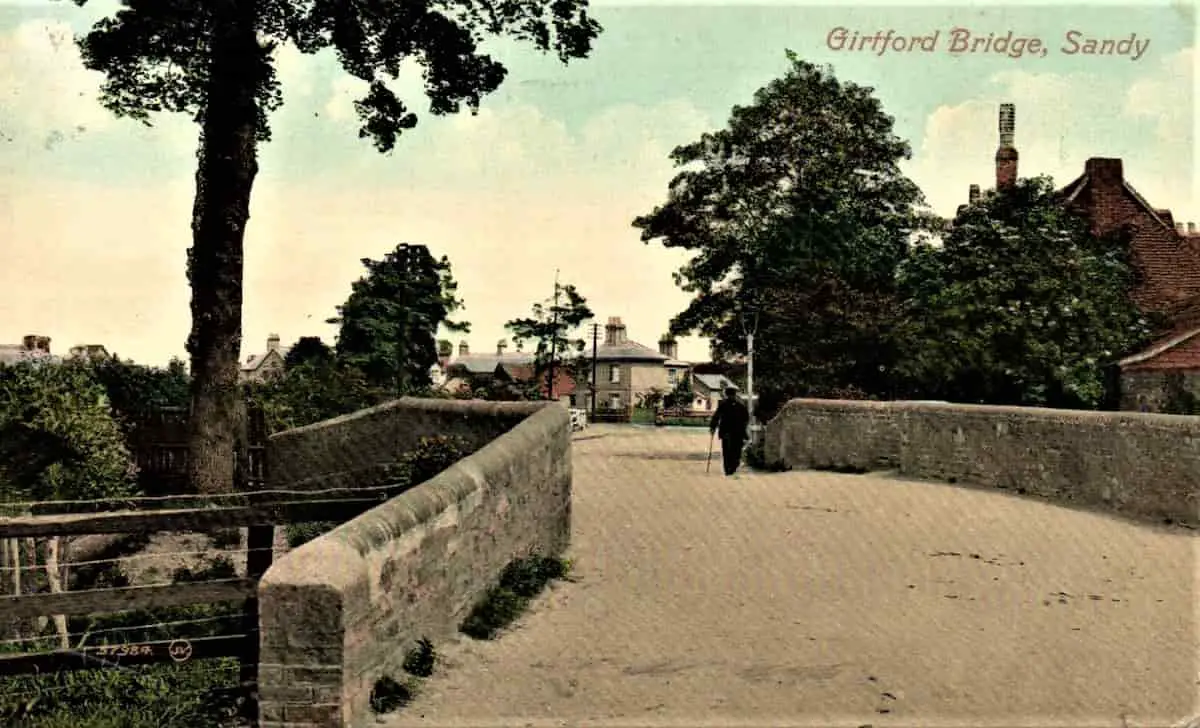
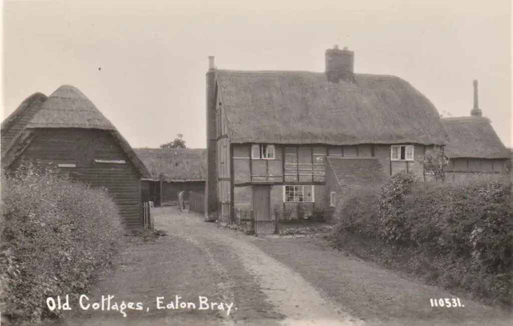
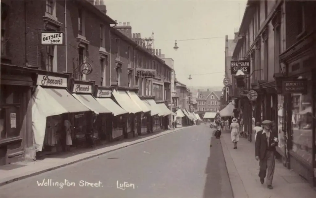
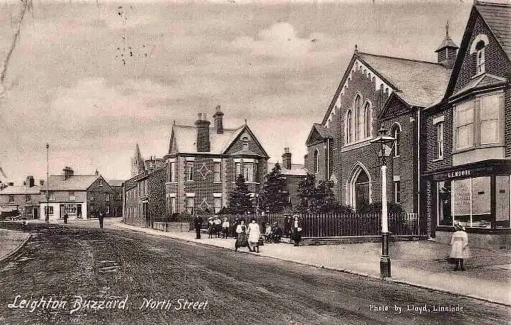
Glimpse history through old images of Sandy, in Bedfordshire, England, UK.
Old Photos of Sandy
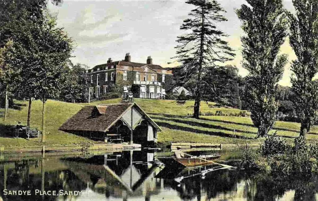
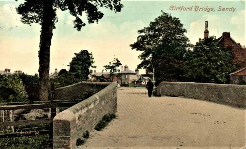
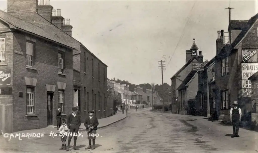
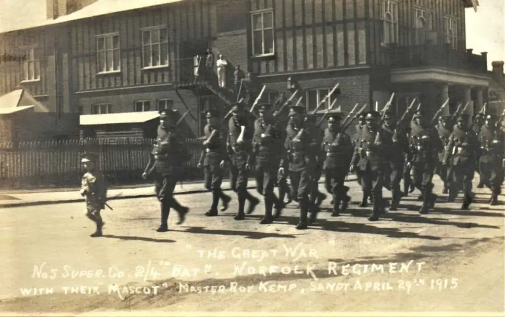
Sandy’s Riverside 1968
A 1968 newsreel about a group fo schoolboys building their own hovercraft captured some nice images of the river and riverbanks, as well as a glimpse of buildings at the end.
Schoolboys Build Hovercraft (1968) – British Pathé on YouTube
A Bit of Sandy’s History
Extract from:
Post office directory of Berkshire, Northamptonshire, Oxfordshire, with Bedfordshire, Buckinghamshire, and Huntingdonshire [afterw.] The Post office directory of Northamptonshire, Huntingdonshire, Bedfordshire, Buckinghamshire, Berkshire, and Oxfordshire
by Kelly’s Directories Ltd
Published in 1869
Page 380
SANDY is a large and populous village and parish and railway station, on the road from Potton to Bedford; from the former place, it is 34 miles west, from the latter 8 east, and from Biggleswade 41 north, partly in the hundred of Biggleswade and partly in that of Wixamtree, union and county court district of Biggleswade, rural deanery of Shefford, archdeaconry of Bedford, and diocese of Ely.
The Great Northern Company has a station here on its main line, which is here intersected by the Cambridge and Bedford branch of the London and North Western, by which direct railway communication is given with London and the South of England, and Oxford and the Midland Counties, and has added much to the importance of this place, rendering it a railway center.
The railways give great facility for sending the staple products of the neighborhood (principally potatoes, onions, and cucumbers) to the London markets and to the manufacturing districts.
The river Ivel flows through the parish.
The church of St. Swithin consists of nave, aisles, chancel, and transepts, and has a tower at the western end containing a clock and 5 bells: it has been beautifully restored, at an expense of £3,300, affording increased accommodation for the inhabitants. The living is a rectory, yearly value £760, with residence, and about 36 acres of glebe land, in the gift of the executors of the late Francis Pym, Esq., and held by the Rev. John Richardson, M.A., of Trinity College, Cambridge.
There is a school for girls, erected in 1840 by the late Francis Pym, Esq.
Also a school for boys, rebuilt in 1843, both of which are supported by voluntary contributions.
New schools are in course of erection.
The Wesleyans and Baptists have each a chapel here.
The charities amount together to about £90 per annum, which is appropriated at different times to the poor in food and clothing; also to putting out apprentices.
This place is supposed to have been the Salinae of the Romans, and in the immediate vicinity are the remains of two camps, one of which, called Caesar’s Camp, contains about 30 acres. Several remains of Roman pottery and other relics have at different times been discovered during the working of the stone pits, and upon making the cuttings for the Great Northern and Bedford and Cambridge Railways.
The Hasells, the residence of Colonel Pearson; Caesar’s Camp, occupied by Henry Kaye, Esq.; and Swiss Cottage, the seat of Arthur W. Peel, Esq., M.P., J.P., are delightfully situated in picturesque and finely wooded grounds. The principal landowners are the executors of the late Francis Pym, Esq., A. W. Peel, Esq., and the Rector of Sandy.
The land is a rich and fertile soil, chiefly cultivated as garden ground. The area is 4,010 acres, and the population in 1861 was 2,118.
Bedfordshire Gifts
Gifts for the loveliest grandma in Bedfordshire, from Redbubble.


More about Bedfordshire
- Old Images of Sandy, Bedfordshire
- Old Images of Eaton Bray, Bedfordshire
- Old Images of Luton, Bedfordshire
- Old Images of Leighton Buzzard, Bedfordshire
- Old Images of Dunstable, Bedfordshire
- Old Images of Bedfordshire, England
- Old Images of Linslade, Bedfordshire
- Bedford In The 21st Century
- Videos Of Bedford In The 1980s
- Bedford Gifts: Online Presents & Gift Ideas

